
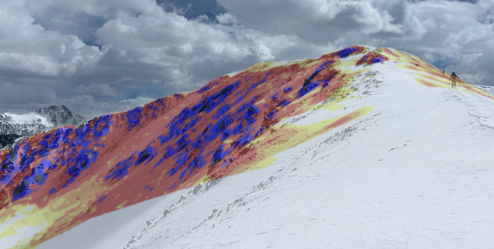
Read the terrain.
Less time on your phone, more time assessing your surroundings.
Coming soon to iOS · Built in Denver, CO
The technology
Get terrain data as fast and easily as taking a photo.
RidgeReader turns high-resolution elevation data into slope angle and aspect for the terrain around you.
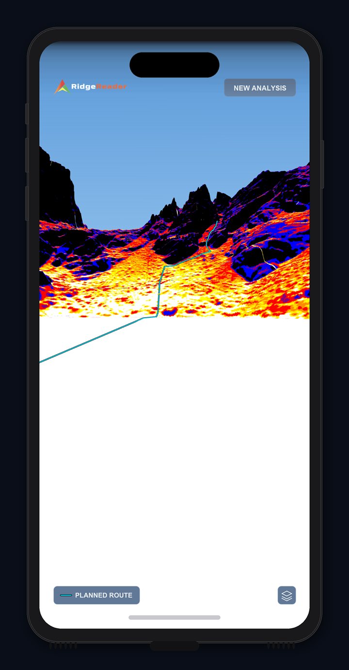
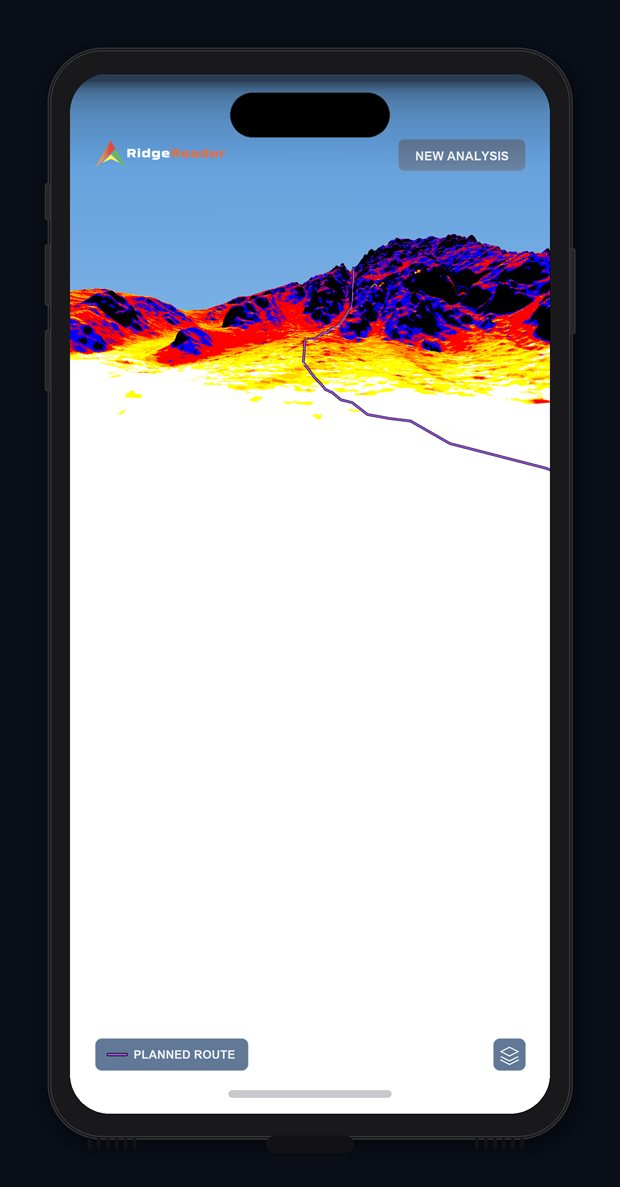
- White: under 27°
- Yellow: 27–29°
- Gold: 30–31°
- Orange: 32–34°
- Red: 35–45°
- Purple: 46–50°
- Blue: 51–59°
- Black: 60° and steeper
- Most avalanches release on slopes between 30° and 45°.
Read the terrain in all conditions.
RidgeReader uses your phone's compass and GPS to function completely offline once terrain is downloaded, rain or shine.
How it works

Download your regionsOptional
Cache the terrain you're heading into before you leave service. Everything after this works offline.

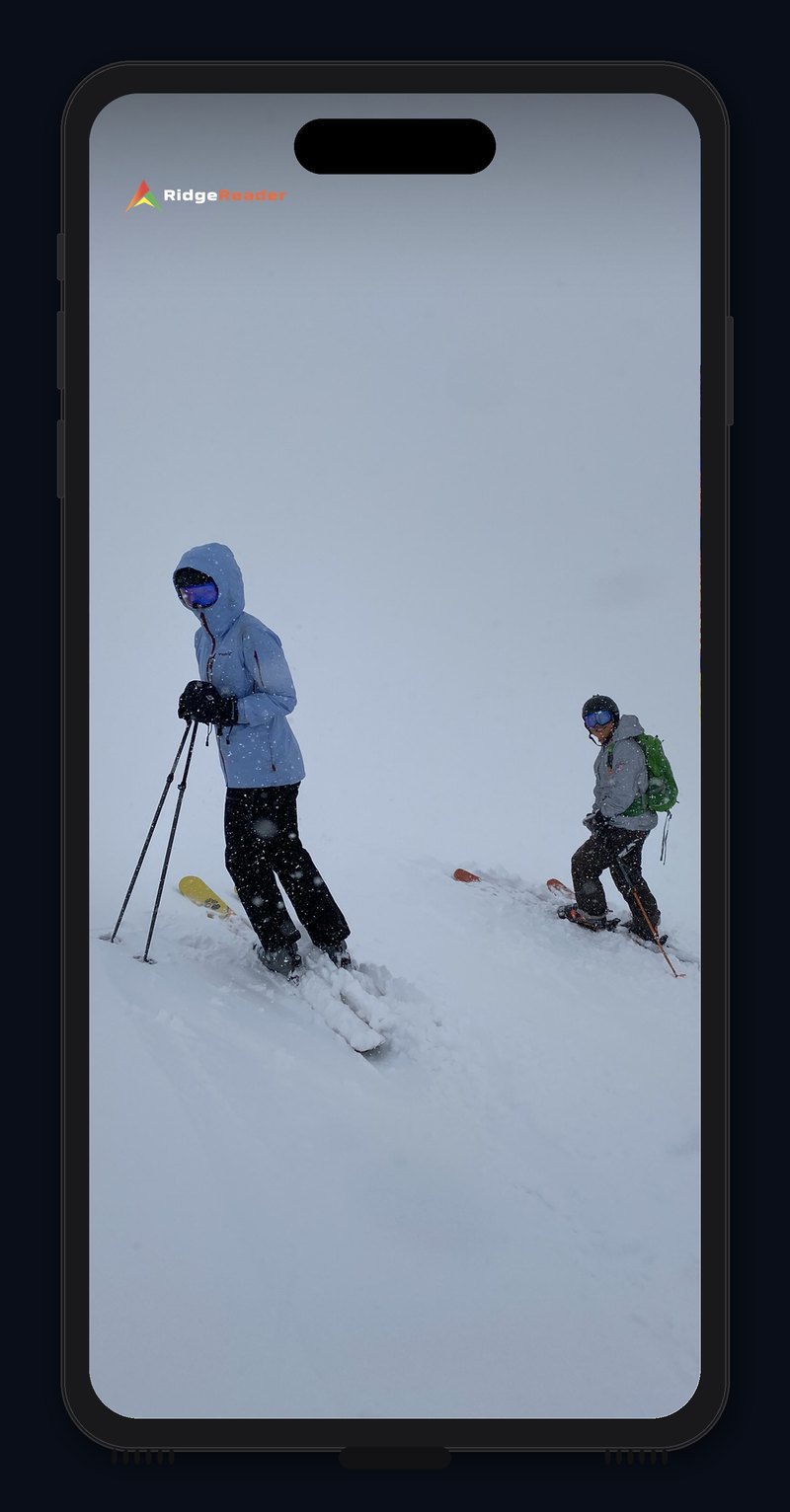
Photograph the terrain ahead
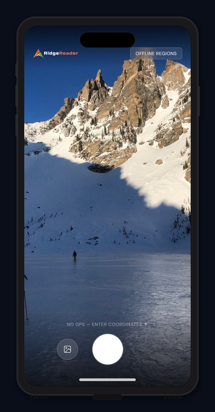
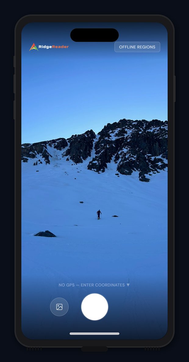
Point the phone at the line you're weighing up and take a single shot.

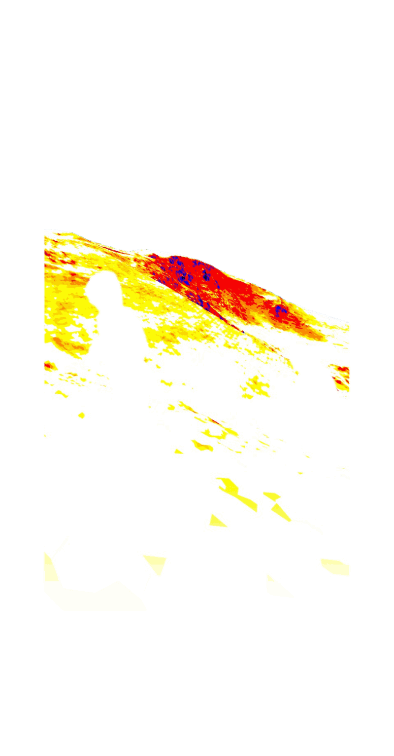
Read the terrain
RidgeReader matches the photo to 3D terrain and returns slope-angle shading on the face in front of you.
Frequently asked questions
Safety, accuracy, coverage, and getting the app
What it is
3 questions
What does RidgeReader do?
RidgeReader is a backcountry navigation app that shows you how steep the terrain in front of you is. Take a photo of a slope, or open one from a past tour, and it draws that terrain in 3D from where you stood, colored by slope angle. You can switch between the 3D view and your photo to check one against the other.
How is it different from other mapping apps?
Other mapping apps are built around the map, and they're good at route planning. RidgeReader starts from the camera instead, so you see slope angle from your own position on the ground. We use the same elevation data and a familiar slope color scale, so the numbers should closely agree with what you already use.
Does it replace my mapping app?
No. RidgeReader has a map with slope shading, route drawing, and GPX import, but it isn't built to replace a full mapping and navigation app. Most people will use it alongside one.
Safety
3 questions
Does this replace avalanche training?
No. RidgeReader is an informational and planning aid, built for people who already have avalanche education and make their own decisions in the backcountry. It makes slope angle easier to visualize. It doesn't teach you what to do with that information.
Does it tell me whether a slope is safe?
No. RidgeReader shows slope angle, which is one input among many. It knows nothing about the snowpack, the weather, or your group, and it will never give you a go or no-go answer.
Does it include avalanche forecasts?
No, and that's deliberate. Forecasts come from your regional avalanche center, and you should read theirs before every tour.
Accuracy
4 questions
What data does it use?
The 3D view is built from 1 meter lidar elevation data published by the USGS, the same public source other mapping apps draw on. Slope angle is calculated with a standard slope method used across mapping tools.
How accurate is the slope angle?
The angles come straight from the 1 meter elevation data, so they should closely match other mapping apps built on the same data set. What varies is how well the 3D view lines up with your photo, which depends on your phone's GPS and compass. The app tells you when a photo had no compass direction or when the camera tilt was estimated.
Does it account for snow depth, cornices, or wind loading?
No. The elevation data measures bare ground, without snow. Wind loading, cornices, and filled-in gullies can make the snow surface steeper or gentler than the ground underneath, so treat the angle as a property of the terrain, not of today's snowpack.
What if a result doesn't look right?
Every result screen has a "My result doesn't look right" option. It walks you through the common causes, like compass drift, and lets you fix what can be fixed. If it still looks wrong, you can send us a report. Those reports are how we find gaps in the terrain data.
Coverage and offline
3 questions
Does it work offline?
Yes, once you've downloaded terrain for the area. The analysis runs entirely on your phone, so it works in airplane mode with no signal. The only step that needs a connection is the download, so do that before you leave home.
Where does it work?
The 3D view works in the US wherever 1 meter lidar exists. That covers much of the mountain West, but coverage is patchy. Where the data is missing, the app says so instead of substituting something coarser.
How much storage does it need?
It depends on how much terrain you download. Regions generally vary from 10–100 MB depending on size. Delete a region any time to free up space.
Getting it
2 questions
When does it launch, and on which phones?
RidgeReader is coming to iPhone this ski season, starting with US terrain. Android will follow. Join the waitlist, and we'll email you when it's available.
How do I get early access?
Join the waitlist. People on the list will be the first to know when the app is available. If you want to be a beta tester, reach out to peter@ridgereader.com.
Features
2 questions
Can I use photos I've already taken?
Yes. Open a photo from your camera roll, and RidgeReader reads the location and direction saved in the photo itself. If a photo is missing that information, the app tells you, and you can enter coordinates by hand.
Can I import routes from other apps?
Yes. You can import GPX tracks, draw your own lines and areas, and organize them by tour. Any of those areas can be turned into downloadable terrain.
Join the waitlist
Be there for the first storm cycle.
We'll email you when the beta opens. No noise in between.